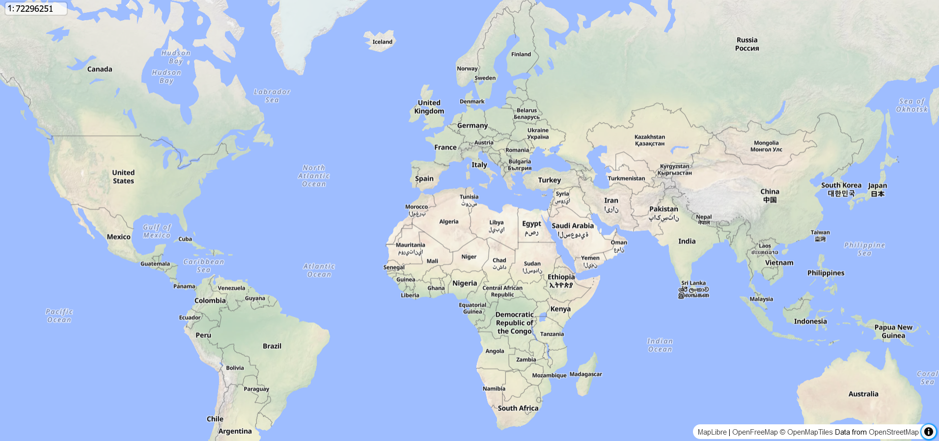
A custom control for MapLibre GL JS that enables users to:
- Display the scale ratio (e.g., 1:15000) based on the current zoom level, map center latitude, and DPI value (default: 96).
- Set the zoom level by inputting a scale ratio.
Include CSS from CDN:
<link rel="stylesheet" href="https://cdn.jsdelivr.net/gh/tjmsy/maplibre-gl-scale-ratio@v0.1.0/src/maplibre-gl-scale-ratio.css" />
Import JavaScript from CDN:
import { ScaleRatioControl } from 'https://cdn.jsdelivr.net/gh/tjmsy/maplibre-gl-scale-ratio@v0.1.0/src/maplibre-gl-scale-ratio.js';Add Control:
const scaleRatioControl = new ScaleRatioControl();
map.addControl(scaleRatioControl);
Optionally, you can specify the DPI value if needed:
const scaleRatioControl = new ScaleRatioControl({
  dpi: 144  // Optional DPI value (default is 96)
});
map.addControl(scaleRatioControl);It also provides standalone utility functions.
These functions can calculate:
- The
scale ratiofrom the zoom level and latitude. - The
zoom levelfrom a scale ratio and latitude. - The
meters per pixelat a given zoom level and latitude.
Here are the available functions:
Calculates the scale ratio (1:x) based on the zoom level, latitude, and DPI.
Parameters:
zoomLevel (number, required): The zoom level of the map.
latitude (number, required): The latitude in degrees.
dpi (number, optional): Screen DPI (default: 96).
Returns:
The scale ratio as a number.
Example:
import { getScaleRatio } from 'https://cdn.jsdelivr.net/gh/tjmsy/maplibre-gl-scale-ratio@v0.1.0/src/maplibre-gl-scale-ratio.js';

const scaleRatio = getScaleRatio(15, 35.6895); // Zoom level 15, latitude 35.6895 (Tokyo)

console.log("Scale ratio: 1:", scaleRatio); // e.g. Scale ratio: 1:7332Calculates the zoom level based on a given scale ratio, latitude, and DPI.
Parameters:
scaleRatio (number, required): The scale ratio (e.g., 1:x, where x is the ratio).
latitude (number, required): The latitude in degrees.
dpi (number, optional): Screen DPI (default: 96).
Returns:
The zoom level as a number.
Example:
import { getZoomLevelFromScaleRatio } from 'https://cdn.jsdelivr.net/gh/tjmsy/maplibre-gl-scale-ratio@v0.1.0/src/maplibre-gl-scale-ratio.js';

const zoomLevel = getZoomLevelFromScaleRatio(15000, 35.6895); // Scale ratio 1:15000, latitude 35.6895 (Tokyo)

console.log("Zoom level:", zoomLevel); // e.g. Zoom level: 13.96Calculates the meters per pixel at a given zoom level and latitude.
Parameters:
zoomLevel (number, required): The zoom level of the map.
latitude (number, required): The latitude in degrees.
Returns:
The meters per pixel at the given zoom level and latitude as a number.
Example:
import { getMetersOnEarthPerPixel } from 'https://cdn.jsdelivr.net/gh/tjmsy/maplibre-gl-scale-ratio@v0.1.0/src/maplibre-gl-scale-ratio.js';

const metersPerPixel = getMetersOnEarthPerPixel(15, 35.6895); // Zoom level 15, latitude 35.6895 (Tokyo)

console.log("Meters per pixel:", metersPerPixel); // e.g. Meters per pixel: 1.940Feel free to open an issue, start a discussion, or share any feedback or suggestions!
Contributions are always welcome.